Bidding Farewell
to a Friend
Transporting N8270P (a.k.a. Gloria) to her new home
in California
Thursday Afternoon
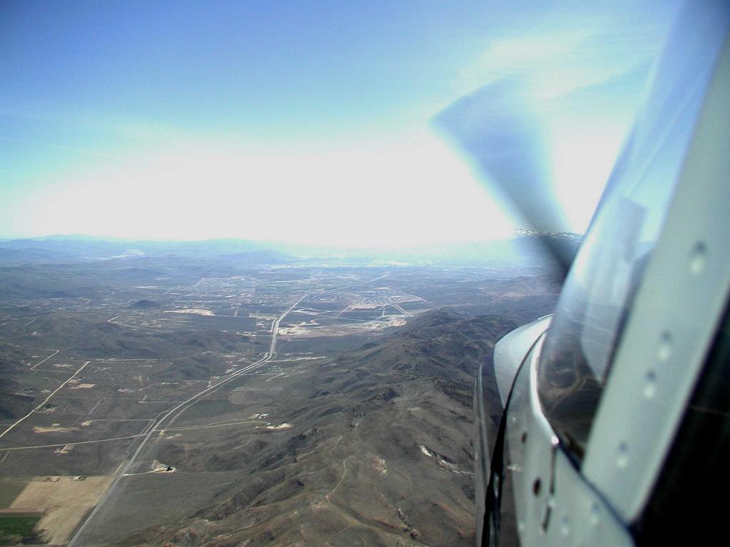
We left Fort Bridger with some trepidation about clouds and ice while enroute over the mountains. And the 7012 foot elevation of the airport (density altitude reported as over 8000 feet)wasn't exactly confidence-inspiring, either - with so little air for both the prop and wings to do their job, the plane took perhaps twice the normal amount of runway to become airborne. Fort Bridger had more than enough runway to get the job done, but it was still a little unsettling to watch the end coming up before the plane was ready to fly.
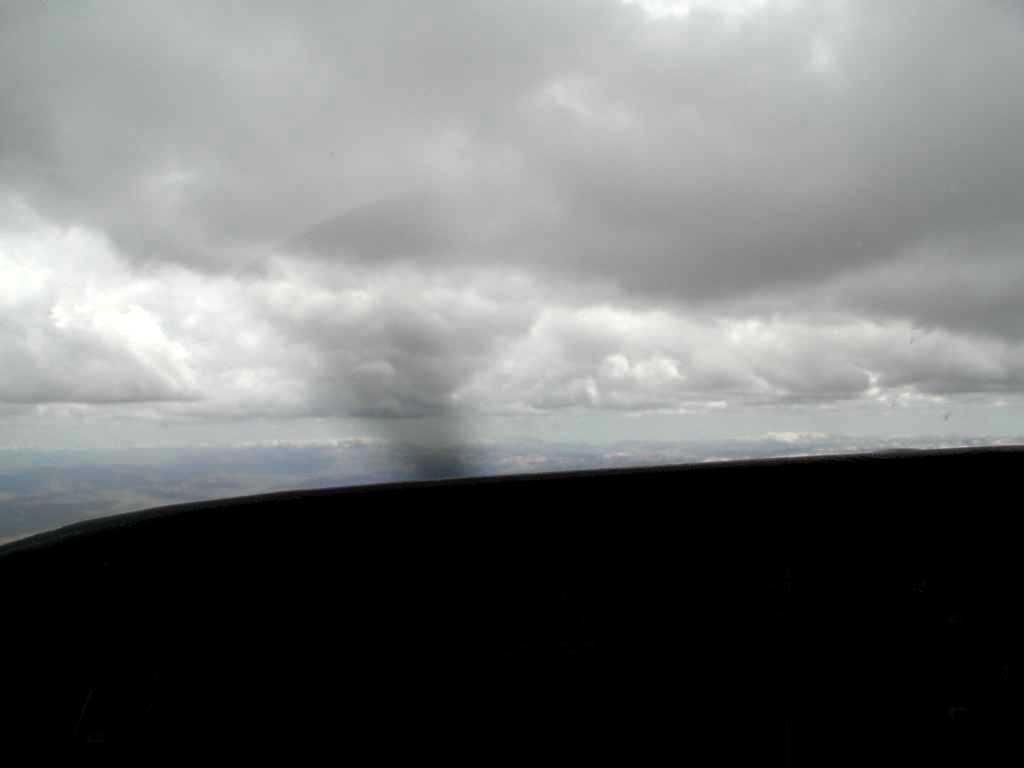
Once at altitude, we were pleased to see that we could cruise at 12,000 feet, high enough to safely clear the mountains, but still safely below the deck of clouds. We cruised for more than an hour this way - looking at a narrow slot of horizon between the clouds and the mountains.
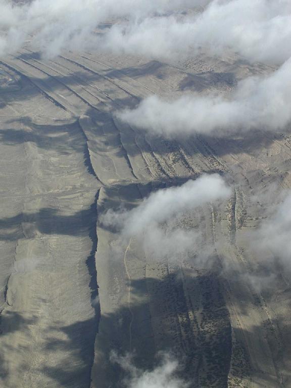
Below us was some very interesting terrain, something a Long Island boy rarely, if ever, gets a chance to see.
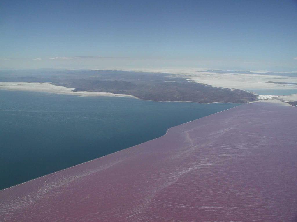
This next leg of the trip would take us to Reno, Nevada, but first north of Salt Lake City. The terrain dropped away from us here from perhaps 3000 feet below us over the mountains, to nearly 10,000 feet below at Ogden, Utah (north of Salt Lake City). Crossing the Great Salt Lake, we saw what looked like a man-made dam, with purple water to the North. If anyone reading this can tell me what this was, please write!
Finally, we began receiving
vectors from Air Traffic Control for the approach into Reno. The route
took us about 30 miles north of the airport, followed by a left turn toward
the city and runway. Just as well - we were at 14,000 feet and needed
the time and distance to lose nearly 10,000 feet to reach the airport.
As we got closer, the city became visible in the distance.